
Features
Regularly updated, full-color maps
Clearly labeled Interstate, U.S., state, and county highways
Detail maps of major cities, a mileage chart, and a Mileages & Driving Times Map
Indications of county boundaries, schools, shopping malls, parks, golf courses, hospitals, airports, and points of interest
Easy-to-use legend
Detailed index
Copyright 2023
Discover More Best Sellers in Maps
Shop Maps
24x36 United States, USA US Classic Wall Map Poster Mural Laminated

 Maps - 24x36 United States, USA US Classic Wall Map Poster Mural Laminated

Austin Regional Area Major Arterial Wall Map 42" W x 62" H (Laminated)
 Maps - Austin Regional Area Major Arterial Wall Map 42" W x 62" H (Laminated)

30x48 World Wall Map by Smithsonian Journeys - Blue Ocean Edition (30x48 Laminated)
Maps - 30x48 World Wall Map by Smithsonian Journeys - Blue Ocean Edition (30x48 Laminated)

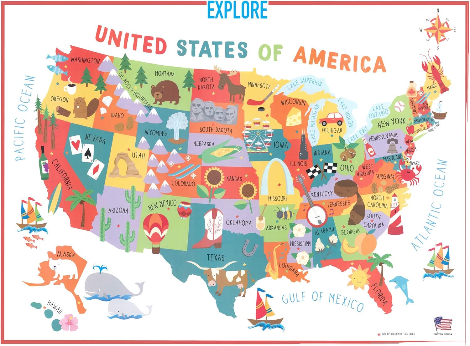
Swiftmaps 18x24 United States USA US Children's Wall Map Mural Poster Laminated for Kids
 Maps - Swiftmaps 18x24 United States USA US Children's Wall Map Mural Poster Laminated for Kids

Pictorial Poster Map of Ireland - 23.4 x 16.5 inches - Paper Laminated
Maps - Pictorial Poster Map of Ireland - 23.4 x 16.5 inches - Paper Laminated
 Maps - Niwo ART - World Map, Peel & Stick, Self-Adhesive, Removable, Repositionable Classic Large Wall Map (54"x36")

Collins: Scotland of Old Wall Map - 40 x 30.75 inches
Maps - Collins: Scotland of Old Wall Map - 40 x 30.75 inches

